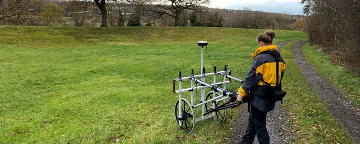
 WEST DUNBARTONSHIRE, SCOTLAND—According to a BBC News report, traces of a fortlet that once stood next to the Antonine Wall have been detected in Scotland’s central lowlands by researchers from Historic Environment Scotland with a geophysical surveying technique known as gradiometry, which measures small changes in the earth’s magnetic field. Antiquarian Robert Sibbald wrote in 1707 that he had seen this fortlet, but its exact location had been unknown. The structure had a stone base topped with a six-foot turf rampart surrounding two small wooden buildings. Between A.D. 142 and 162, 10 to 12 Roman soldiers would have manned the fortlet for a week at a time before they were replaced by another detachment from a larger fort set on Rome’s frontier border. In all, 10 of the 41 fortlets thought to have lined the 39-mile-long Antonine Wall have been found. For more on the Antonine Wall, go to "The Wall at the End of the Empire: The Other Wall."
Small Fort Found in Scotland on Rome’s Antonine Wall
